About Highway 3
A Primary Route Within Alberta
Highway 3, also known as the Crowsnest Highway, is one of Canada’s primary routes on the National Highway System (NHS). Branching off from the Trans-Canada Highway in Medicine Hat, it continues 1100 km westward before rejoining the Trans-Canada Highway in Hope, BC.
The corridor is currently a designated Long Combination Vehicle (LCV) Route and is proposed to become a High Load and Oversize / Overweight (OSOW) Connector Route within Alberta.
The highway is also one of only three continuous east-west routes through the province and forms the spine of the provincial transportation network in Southern Alberta facilitating the movement of people, goods and services, regionally, inter-provincially and internationally.

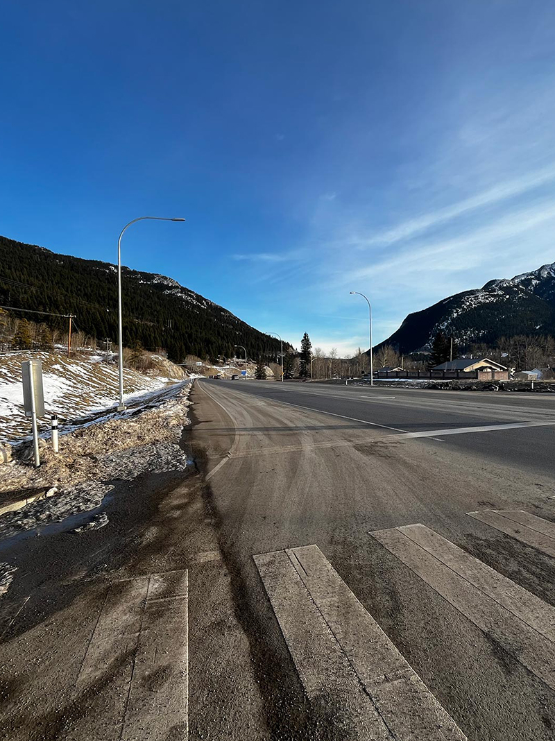
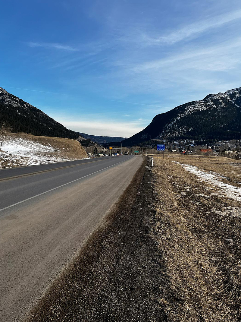
Existing Highway 3 at 129 Street (Blairmore) looking east.
Upgrading Highway 3
Alberta Transportation and Economic Corridors (TEC) aims to have provincial highways function in support of safe, efficient, and effective transportation of people and goods while complementing the provincial economy and the surrounding land use and development plans. Selected highways, such as Highway 3 have been designated as freeways to enhance and protect their desired function as high-speed uninterrupted-flow routes.
In the mid-1970s and again in 2000s, TEC classified the entirety of Highway 3 as a future freeway under the Highways Development and Protection Act (HDPA). This classification as a future freeway initiated the transformation of Highway 3 to a higher standard, as a free-flowing facility with access limited to interchange locations. The design work currently being completed is part of a larger province-wide vision to upgrade and twin Highway 3 to a freeway standard between Medicine Hat and the BC border.

Existing Highway 3 west of 129 Street (Blairmore), looking east.

Existing Highway 3 west of 129 Street (Blairmore), looking east.
Upgrading Highway 3
Alberta Transportation and Economic Corridors (TEC) aims to have provincial highways function in support of safe, efficient, and effective transportation of people and goods while complementing the provincial economy and the surrounding land use and development plans. Selected highways, such as Highway 3 have been designated as freeways to enhance and protect their desired function as high-speed uninterrupted-flow routes.
In the mid-1970s and again in 2000s, TEC classified the entirety of Highway 3 as a future freeway under the Highways Development and Protection Act (HDPA). This classification as a future freeway initiated the transformation of Highway 3 to a higher standard, as a free-flowing facility with access limited to interchange locations. The design work currently being completed is part of a larger province-wide vision to upgrade and twin Highway 3 to a freeway standard between Medicine Hat and the BC border.
2019 Functional Planning Study
Several planning studies have been completed along the Highway 3 corridor over the last number of years. Recently, in 2019, a Functional Planning Study (FPS) was completed for the westerly portion of Highway 3, from Crowsnest Pass to Pincher Station. This FPS built on earlier planning studies to address and incorporate:
- Numerous safety and capacity issues that were identified along the corridor
- Local road networks for inter-community travel
- New and revised environmental policies
- Feedback from stakeholders and members of the public from engagement sessions
‘Stage 1A’ as outlined in this FPS is now the Highway 3X project, currently moving forward through Preliminary and Detailed Design phases, and planning for Tendering and Construction.
A summary of the previous Functional Planning Study can be accessed here.
